This is an FAQ-style article. We tell you about drone shows concisely and to the point, answer popular questions, and inspire you to come up with your own ideas.
What type of drones are used?
Typically – quadrocopters, that is, four-propeller devices. To create a visual effect, the drones need to be equipped with a powerful flashlight with a controllable LED. A navigation module is also needed for them to be able to navigate in space. The movement of our drones is synched with global GPS time. Cameras and magnetometers are unnecessary. Best believe the weight of these devices is crucial.
How do I create an animation?
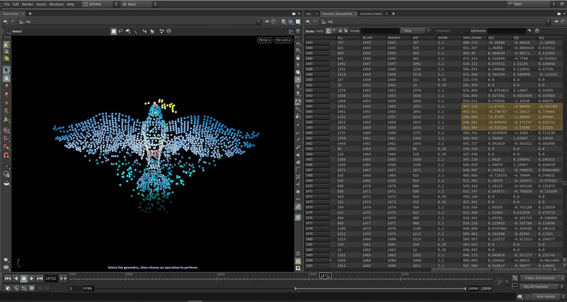
We work in Houdini – a 3D graphics software. Any other suitable software will do.
In Houdini, animation is created using visual (node) programming. For convenience, experts develop their own tools in VEX and Python, making the processes more routine. All those factors contributing to a safe flight (including speed, intervals between drones during takeoff, landing, and during the show) are calculated in advance using physical simulation algorithms. The result of creating a flight mission is a set of information in the format “time, X, Y, Z (coordinates), R, G, B (colors).” It is also used when generating binary files that can be read by the drone’s autopilot.
Can I come up with any type of figure (shape)?
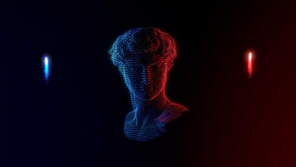
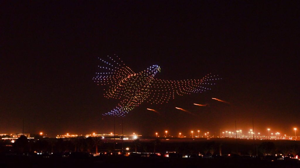
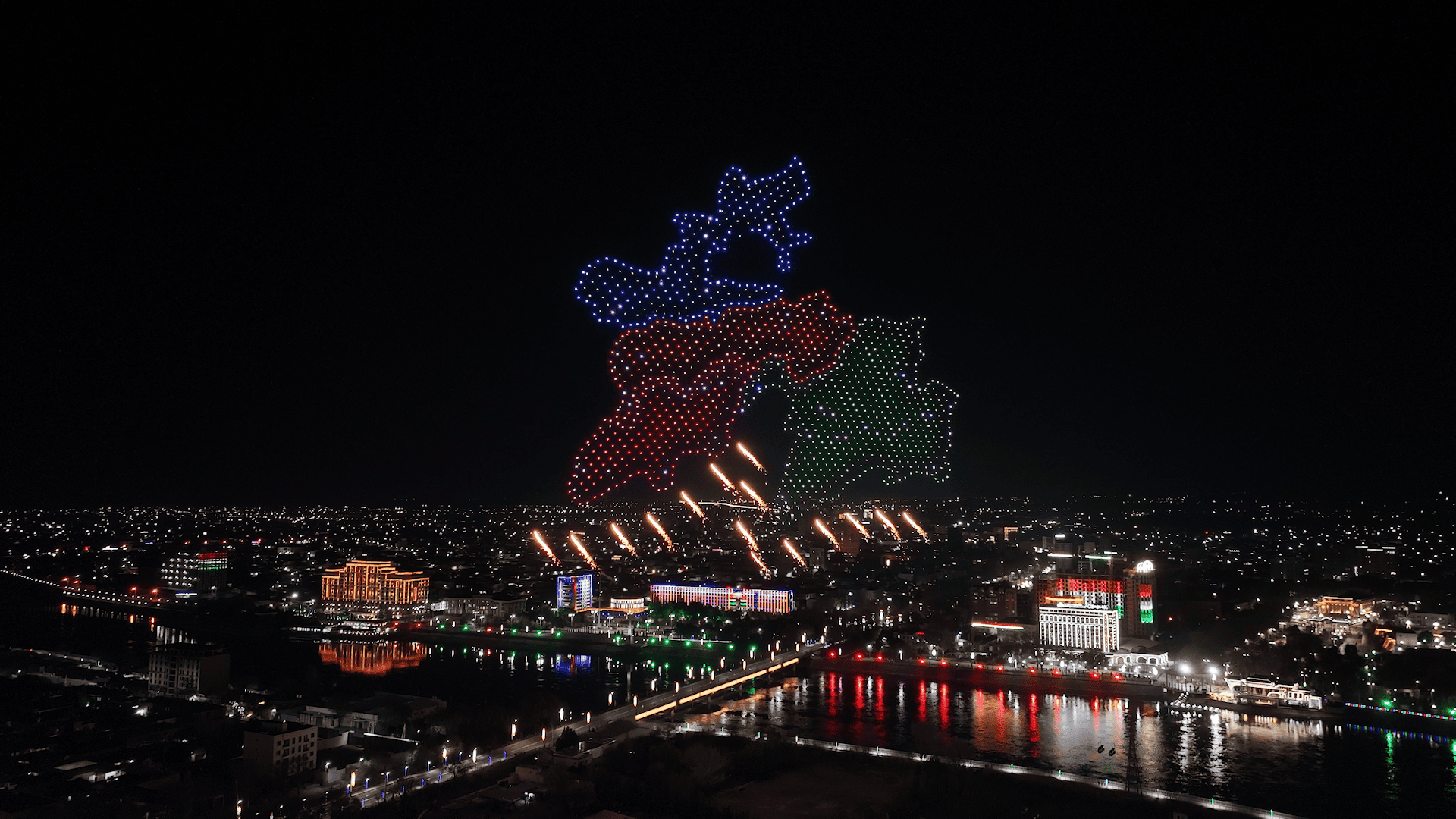
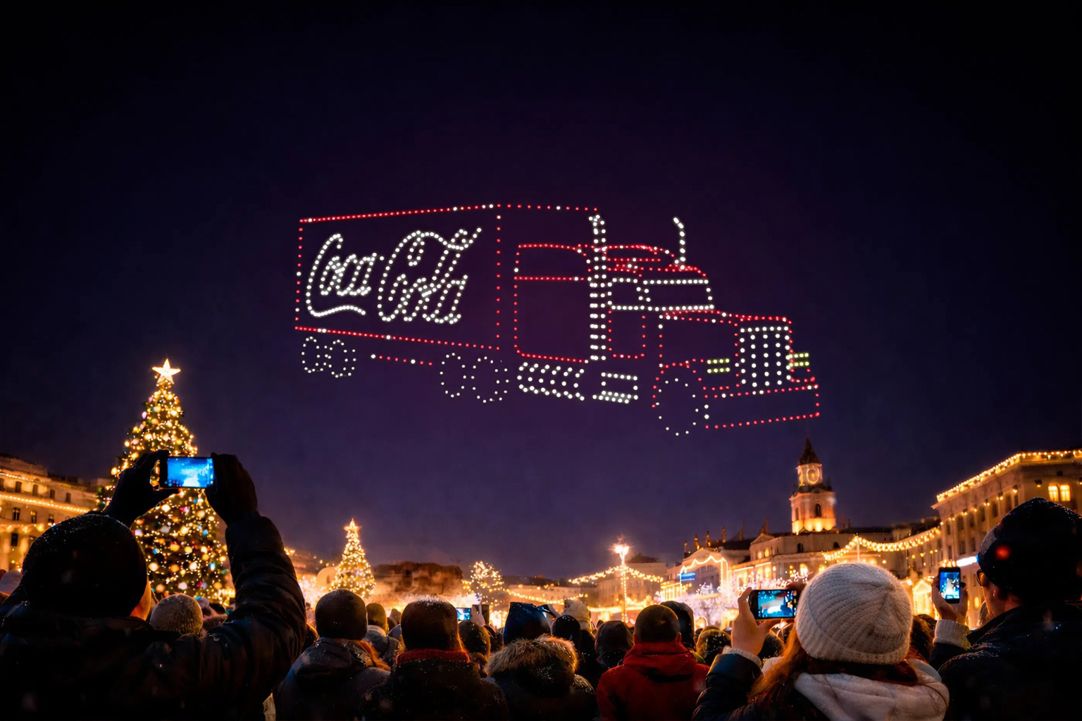
Sure. A show can consist of different elements, from names and portraits to complex 3D figures. Your imagination is only limited by the laws of physics.
What is a flight mission?
It is the whole spectrum of tasks performed by the drone. This is both the trajectory of movement and the change in colors.
Flight missions are created for each copter as they are drawn up. The entire set of tasks is then verified on special software and uploaded onto the drone. We have developed software programs ourselves for these tasks and are constantly optimizing them as the number of drones participating in shows continues growing and animation is ever-improving.
Do the drones communicate with each another during a show?
No. The devices move along an individual route unaware of the existence of its neighbors. During presentation, however, the drones can receive corrections from a GPS station. There is also a remote control for emergency commands via radio (for instance, turn off the lights or stop the flight).
How do the figures (shapes) turn out to be recognizable?
Positioning accuracy is important. To avoid creating a mess and for the ellipse planned on the computer to actually resemble an ellipse, the drones must be informed of their respective positions. However, since the accuracy of a conventional GPS receiver is around several meters, the distance between the copters is actually quite large. To reduce it, you can use the Real Time Kinematic system in which corrections are calculated in real time and immediately transmitted to drones. This way, you are able to increase the positioning accuracy to just a few centimeters. This allows you to create more complex images, such as detailed portraits.
Are permits needed?
Yes. An approval request is sent to local authorities, the details depending on the country and local laws.
Do you remember the importance of drone weight? The procedure for obtaining a permit is much easier for a drone weighing less than 250 g.
Any weather restrictions?
It is good practice to avoid holding a show in heavy rain and snow, or at wind speeds above 5 m/s.
Where can I hold a show?
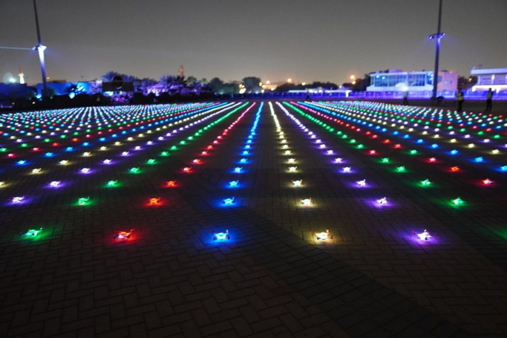
For safety purposes, drones do not fly directly over spectators and moving vehicles. The launch pad should be no further than 200 meters from the main flight site, with the launch itself carried out from a flat surface. You can even use a roof for this!
What about indoors?
That is possible, but you’ll need to use a different positioning system, for instance, SLAM, by optical tags, using ultrasonic or IR sensors.
Check out a few clips of our shows on our YouTube channel. Be inspired, put your creative cap on, or order from us!
